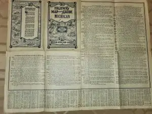
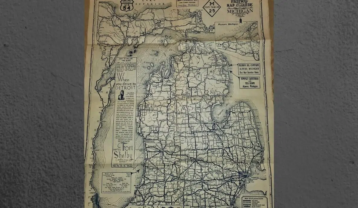
NEWAYGO COUNTY, MI (WKZO AM/FM) — A Michigan man obtained a nice relic of some state history a few years back, showcasing travel routes in the state in the 1930s. He got a very good deal for it too.
Rob Abberman, who lives in Newaygo County, says he was browsing E-Bay about five years ago when he stumbled across an old road map of Michigan for sale. An elderly land developer from Alabama had passed away and the 1932 map was part of his estate. He ended up purchasing it for only $5 and says it is the best impulse purchase he has ever made. He says there are so many things to look at that show what travel was like long before the development of the interstate highway system and 25 years before construction of the Mackinac Bridge was finished.
“The biggest thing for me is noticing how much more of a challenge it was just to get up to Traverse City. Something we take for granted. On the back, you can see all the businesses that used to be that are long gone and the neighborhoods conditions now.” – Rob Ammerman

Courtesy Rob Ammerman
Ammerman said it is the oldest map of Michigan he has ever come across. posted a photo of the map in the Michigan History Facebook group which has over 88,000 members. In just 9 hours since he posted it, over 1,700 people reacted to the photo and it had hundreds of comments and shares.


