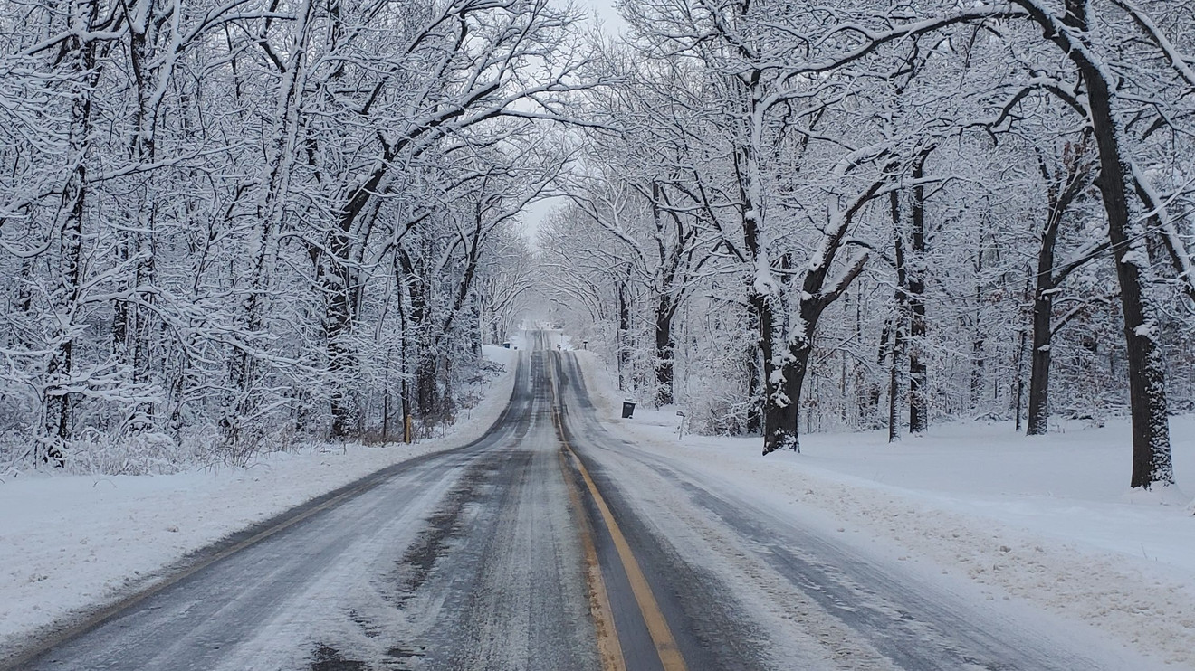
COLDWATER, MI (WTVB) – It was one year ago today Branch County along with all of southwest Michigan received a sudden blast of wintry weather that blanketed area first significant snowfall of the season.
The storm system tracked out of the Ohio Valley on November 8, dropping temperatures below freezing and transitioning a steady rainfall into heavy, wet snow.
By mid-day on Sunday November 9, Branch County residents woke up to roughly 3.5 inches of snow accumulation on the ground, creating a swift transformation into a winter wonderland.
Minor traffic accidents were reported across local roadways as motorists adjusted to the slick, unseasonable conditions.
Meanwhile, the broader Southwest Michigan region saw even higher accumulations due to a subsequent surge of lake-effect snow bands fueled by strong northwesterly winds whipping across the relatively warm waters of Lake Michigan. \
Counties along the lakeshore, including Berrien and Van Buren, saw widespread accumulations ranging from 6 inches to nearly a foot of snow in localized areas, which heavily impacted travel conditions along major corridors like Interstate 94.
Even though we could see overnight lows by this weekend dip into the mid 20’s there is no signs of any significant snows the near future, according to the Natioanl Weather Service.




Comments